Previously developed land: what it is and why solar developers care
If you've sat through a planning committee meeting on a solar application, you've heard the term "previously developed land" get tossed around like everyone in the room already agrees on what it means. Most of the time they don't, not exactly, and the gap matters when you're trying to get a site through committee without a fight over farmland.
What counts as previously developed land
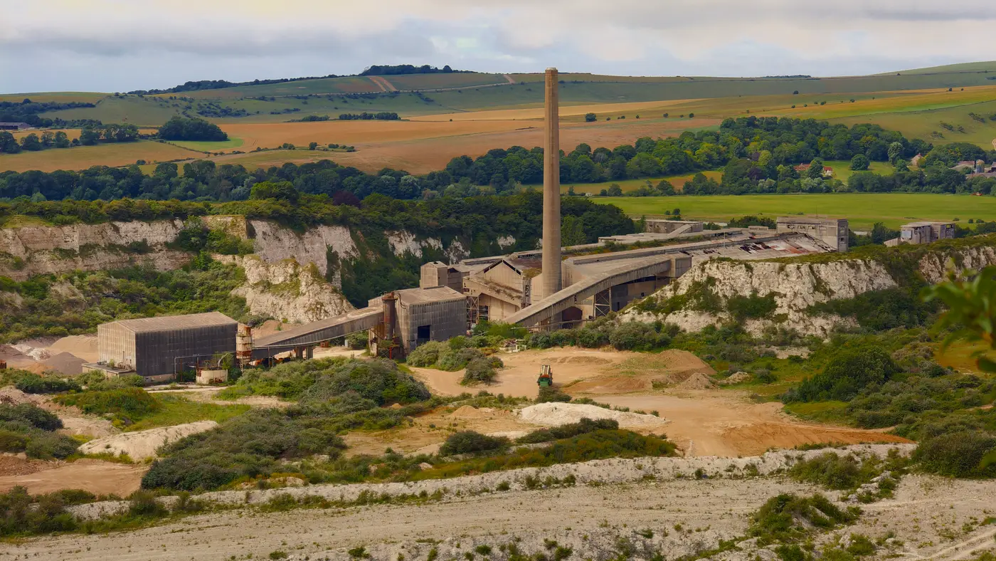
Previously developed land, usually shortened to PDL, is land that's already been built on, dug into, or otherwise altered by a prior use, and isn't currently serving an agricultural, open-space, or natural function. The UK's National Planning Policy Framework has a working definition along these lines, and most local plans borrow from it or something close. The category covers a wide range of ground: closed landfills, old quarries and spoil heaps, former industrial yards, disused mineral workings, ex-military sites, and land sitting under or around demolished buildings.
Vacant land, recently farmed land, and a working field with one derelict barn in the corner all fall outside the definition. Planning officers base the call on documented planning history and the site's current designation. In a policy document, "previously developed" carries specific legal weight tied to that history, separate from how neglected the ground looks on an inspection visit.
Gardens, parks, and land that's reverted to a natural state after the prior use ended are usually carved out too, even though plenty of people assume a scrubby overgrown lot counts. It often doesn't. The test is about the land's planning history and current designation, not how tidy it looks from the road.
Why the label changes the planning conversation
Here's the part that actually matters for siting work: PDL carries presumption in its favor in a lot of local and national planning frameworks. Where a greenfield solar application has to clear a higher bar and often survives only on appeal, a PDL application starts the conversation differently. Planning officers and committees are generally more willing to approve renewables development on land that's already lost its agricultural or amenity value than they are to approve it on a field that's still growing wheat.
That presumption shows up in practical ways. Objections about loss of best-and-most-versatile agricultural land don't apply. Local opposition tends to be lighter because there's no visible loss of a working landscape. Some authorities have gone further and written explicit brownfield-first policies into their local plans, which means a PDL site can move through pre-application discussions faster simply because the planning officer doesn't have to justify departing from a food-security or landscape-protection policy.
None of this guarantees approval. A former landfill still has to clear ecology surveys, ground stability checks, and grid connection feasibility like anything else. But the planning argument starts from a friendlier position, and that's worth something when a developer is weighing which parcels in a portfolio to push toward application first.
Why this is harder than it sounds in practice
Land planners usually know the definition well enough to argue it in committee. What trips them up is finding the land itself. Historical land-use records are scattered across council archives, Environment Agency landfill registers, old Ordnance Survey editions, and mining records that don't always agree with each other, and a lot of former industrial ground was never formally logged as such once the site operator went bust or the use lapsed without anyone filing the paperwork. Screening a county for PDL candidates by pulling records site by site is slow, and it's easy to miss parcels that never made it into any register at all.
That's the gap Brownfield Solar Sites is built to close: it works from high-resolution multispectral satellite imagery to flag closed landfills, quarries, spoil heaps, and visibly degraded ground that's worth a planning officer's second look, delivered as a yearly numbered dossier rather than a pile of raw imagery. For a sense of how the dossier is put together and what a candidate list looks like, the site's main overview walks through the approach.
If you're screening a region for sites that skip the food-producing-land argument before you've even started, that dossier is worth a look.