Early access
Find the degraded land in your search region, with a paper trail.
Brownfield Solar Sites reads closed landfills, spoil heaps and former quarries out of multispectral satellite imagery and hands you a numbered dossier of candidates. It is an early-access offer: we are looking for the first land planners to try it on a real search region.
Candidate dossier
- Search region
- Imagery
- High-res multispectral, 0.5–2 m
- Run
- Annual
- 01Closed landfill
- 02Spoil heap
- 03Former quarry
Degraded-land candidates, screened from imagery.
How the long list gets built now
Take a search region around a grid connection point. The land planner's first job is a long list of parcels that will not start an argument over farmland, and for degraded ground that list is assembled by hand. Someone downloads the Environment Agency historic landfill layer, then the local authority's brownfield land register. Old Ordnance Survey editions go over the top to pick out pits and tips. Then comes current aerial imagery, one site at a time, to see what is sitting there now.
The datasets disagree and each has gaps. A quarry that closed without a record, a spoil heap nobody mapped, an informal tip behind a depot: none of these is on the register, and none turns up unless somebody happens to be looking at that part of the map. Meanwhile every site that does make the list costs a records check, a site visit and a call to the owner, so a weak long list is paid for late, in the middle of a bid.
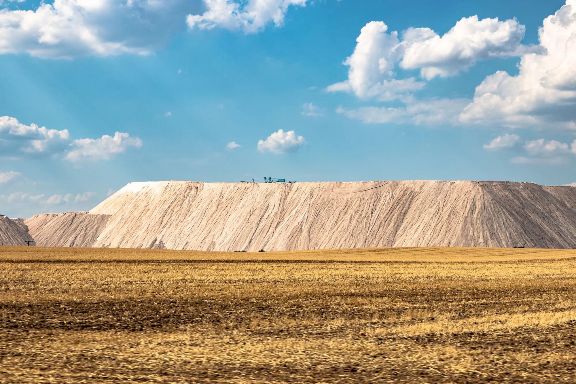
Councils have the same problem from the other side. The estates team knows its closed landfill, but not necessarily every patch of disturbed ground across the district that the climate officer would like to see on a shortlist.
Brownfield Solar Sites reads the whole region from imagery in one pass, so ground that no dataset lists can still appear in the dossier. The records check and the visit stay where they are. They just start from a better list.
What is in the dossier
The offer is early access, so what follows is what we are setting out to deliver on a first search region.
2.1 Candidate dossier
Numbered file
A numbered list of degraded-land candidates inside your search region, one entry per site, laid out to read like a case file rather than a spreadsheet dump. It lands in the planning file next to your constraints work.
2.2 Land-cover note
One per candidate
For each candidate, a short note on why it reads as degraded from above: exposed substrate, spoil, disturbed ground, or a mix. It names what the imagery shows. It names no cause and no owner.
2.3 Region run
Annual
Your search region, screened once a year from a fresh multispectral pass. Next year's dossier shows what has changed on the ground, including candidates that have since been built on.
How it works
3.1Region in. You draw or send the search region. A boundary file or a grid reference and a radius both work.
3.2Annual pass. We pick the clearest high-resolution multispectral satellite pass of the year over the region.
3.3Classification. Exposed substrate, spoil signatures and disturbed land cover are picked out and grouped into candidate sites.
3.4Dossier. The candidates come back numbered, each with the classification basis noted. We go through the top of the file with you on a call.
A candidate list for the planning file
The dossier narrows a region to degraded sites that are worth a records check and a visit, ahead of any application. Run the candidates against your own constraints (grid, access, flood, ownership), then take the survivors into a Phase 1 desk study and the owner conversation. Nothing in the dossier replaces any of that.
Limits
- 5.1 Land cover, not planning
- A candidate is a reading of the surface. It says nothing about whether a planning authority will like the site, and it does not predict that anyone will grant permission.
- 5.2 No contamination reading
- The imagery shows a surface signature. It cannot tell you what is in the ground, whether a landfill is capped, or what remediation has taken place. A Phase I and II review is still the way to find out.
- 5.3 Resolution
- At 0.5 to 2 m a pixel, a large patch of bare or tipped ground is plain to see. A small dump, a narrow strip or a single bund will often be missed or merged with its neighbours.
- 5.4 Look-alikes
- Bare farmland, a ploughed field, a construction compound and a graded car park can all resemble disturbed ground from above. Some of the dossier will turn out to be nothing, and that is what the records check is for.
- 5.5 Clear-sky window
- Optical imagery needs clear skies. A cloudy season can push the pass later or leave patches of the region unseen.
- 5.6 Once a year, and it ages
- A candidate reflects the latest imagery we could use. A site may have been built on, restored or sold since. Check its current status before spending anything.
Who it's for
For
- Land origination managers and land agents at solar developers building a pipeline of degraded-land sites.
- Renewable energy or climate officers and estates teams at councils looking for sites to put forward.
- Teams that want a list of candidates before the records check starts and are willing to try an early-access offer.
Not for
- Teams that want a site cleared for planning or an assessment of contamination.
- Teams that need a Phase I report, a ground investigation or a historical land-use records search. Those come after this.
- Buyers screening rooftops, farmland or operating industrial sites.
- Teams who need monthly updates.
Questions before you ask for access
Does a candidate mean planning will be easier?
Not by itself. Previously developed land tends to draw less objection than a field, but a candidate is a land-cover reading. The planning view is the authority's.
Does this tell us how contaminated a site is?
No. It shows what the surface looks like. Ground conditions come from a desk study and, where needed, ground investigation.
Does it replace a Phase 1 desk study?
No. It is a step before one, to decide which sites deserve it.
How do we check it against our own list?
Choose a region where you already know the degraded land, keep your list to yourself, and compare the dossier with it. You will see what it finds that you did not, and what it misses.
How current is an annual pass?
One pass per region per year. If a site has been redeveloped since, the dossier will not know, so confirm the current status first.
What if we want it more often?
Ask. It is not part of the standard offer.
What comes back and in what format?
A numbered dossier. We will agree the file format with you when we scope the first region.
How is it bought, and who owns the results?
It is early access, so terms are set per region before any imagery is ordered. Ownership and licence terms for the dossier and the imagery go in writing at that point, and we will say what we can and cannot share.
How is early access priced?
We scope it from the size of your search region. We will not quote a number on this page.
Open a file for your region.
Tell us the area you are searching and where you are in the siting process. We will say plainly whether the imagery can cover it.
Request early access