Land Remediation Relief: what it means for solar site selection
What the relief actually covers
Land Remediation Relief (LRR) is a UK corporation tax relief for companies that clean up contaminated or derelict land they've bought. Qualifying costs get a 150% deduction against taxable profits, which means every pound spent on remediation effectively does one and a half pounds of work against the tax bill. It's been on the books since 2001, aimed squarely at getting owners to deal with the mess rather than leave it fenced off.
The relief applies to land that was contaminated before the claimant acquired it, not contamination the current owner caused. It covers things like removing harmful substances, treating ground gas (methane from an old landfill cell, for instance), or clearing Japanese knotweed. It does not apply to land that's merely derelict without contamination, though a separate limb of the relief covers some long-term derelict sites too. The detail matters, and any developer relying on it should get advice from an accountant who's filed these claims before, not from a blog post.
For solar developers, the relevant question isn't the tax mechanics so much as what the relief signals about a site. If a parcel qualifies, someone, somewhere, has already documented that it was contaminated enough to need treatment. That's useful information well before a claim ever gets filed.
Why it matters for solar economics
Solar development margins get squeezed by land cost, grid connection cost, and planning risk, roughly in that order depending on the project. Brownfield sites help with two of the three. They're usually cheaper to acquire than productive farmland, because nobody else wants a former quarry floor or a capped landfill for much else. And they carry planning goodwill that greenfield agricultural land simply doesn't have anymore, now that local authorities are under pressure to protect food-producing land from panel arrays.
LRR sharpens that case further. A site with a documented contamination history, even a minor one, gives the planning officer a paper trail showing the land was already marked as degraded before the developer showed up. That's a different conversation than arguing a greenfield site "isn't that productive anyway."
The catch is finding these sites in the first place. Contaminated land registers exist, but they're patchy, inconsistently maintained between local authorities, and rarely cross-referenced against grid capacity or solar irradiance. A developer who wants to build a shortlist of brownfield candidates across a region is usually stuck pulling historical land-use records authority by authority, cross-checking old Ordnance Survey sheets against planning portals, and hoping nothing got missed in a borough that never digitised its files.
Finding the sites before you chase the relief
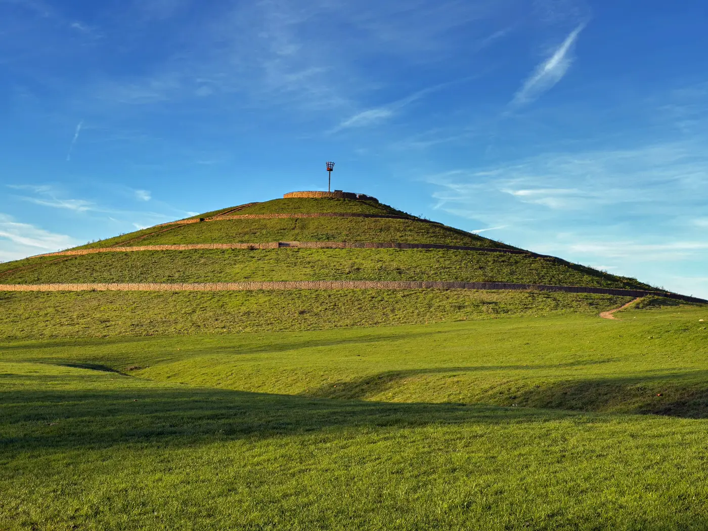
This is where the order of operations matters. LRR is a claim you make after you've identified a site, done due diligence on its contamination history, and started the remediation work. It doesn't help you find the site. What narrows a search area instead is visual evidence of degraded ground: the geometry of a capped landfill cell, the terracing of a spoil heap, the flat scarred footprint where a quarry used to be worked.
That's the gap Brownfield Solar Sites is built around. Instead of working through historical land-use records parcel by parcel, it flags closed landfills, spoil heaps, former quarries, and visibly contaminated ground from high-resolution multispectral satellite imagery, delivered annually as a numbered candidate dossier. It won't tell you whether a given parcel qualifies for Land Remediation Relief. That's still a question for your environmental consultant and your tax adviser once you've got boots on the ground. What it does is hand you a shortlist worth sending them to in the first place, instead of starting from a blank map of the region.
If your team is spending more time cross-referencing old land-use registers than actually assessing sites, it's worth seeing what a satellite-sourced candidate list looks like before the next planning cycle starts.