What is a planning presumption in favour of brownfield development?
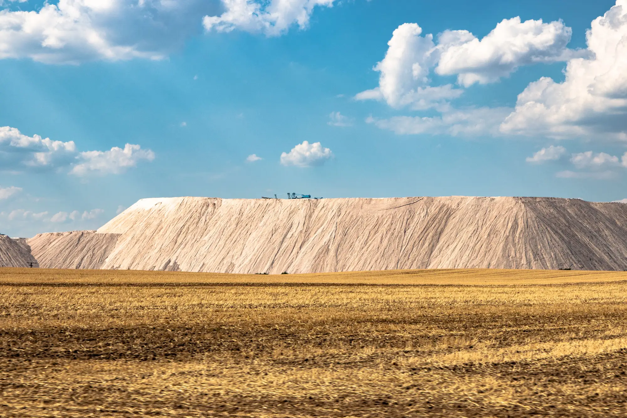
If you've sat through a planning committee meeting on a solar application, you've probably heard someone mention a "presumption in favour" of brownfield reuse. It's a real feature of how most planning frameworks are written, and it changes the odds on a site before a single objection gets raised.
What the presumption actually does at committee
A presumption in favour of brownfield development means the planning system starts from a default position: land that's already been built on, dug into, or otherwise taken out of productive use should be reused before land that hasn't. It doesn't guarantee consent. What it does is shift the burden of proof. On a greenfield or agricultural site, the applicant has to justify why that land, specifically, needs to go under panels. On a former landfill, a quarry void, or a spoil heap, the planning officer's starting assumption already leans your way. Objectors have to argue against reuse of degraded ground, which is a harder case to make than arguing against loss of a working field.
This matters practically because committee time and public comment both run shorter on sites that already carry this goodwill. A site allocated as previously developed land in the local plan, or flagged in a contamination register, walks into the room with less to prove.
Where the goodwill comes from, and why it doesn't travel to farmland
The presumption exists because most planning authorities are working against two pressures at once: protecting food-producing and amenity land, and finding somewhere for renewables infrastructure to actually go. Brownfield sites solve both problems in one move. They're usually unsuitable for agriculture or housing without expensive remediation, so putting solar on them isn't competing with any other viable use. A capped landfill with settling ground, a disused quarry with unstable faces, or a former industrial yard with contaminated soil are exactly the sites a council would rather see generating revenue than sitting idle or needing eventual clean-up funding they don't have.
None of that goodwill extends to a greenfield parcel, even a marginal one. Grade 2 or 3 farmland still reads as land in active or potential food production to most planning officers, and that changes the whole tone of the application. Panels on an old gravel pit get a different conversation than panels on a working pasture, even at identical megawattage.
What this means for how you build a shortlist
The presumption is only useful to you if you can find the land it applies to. That's the slow part. Closed landfills, old quarry workings, and contaminated former industrial ground don't show up as a tidy layer in most GIS systems. They're scattered across historic land-use records, council contamination registers, and local plan allocations that were digitised, if at all, decades apart and never standardised. A planner building a siting shortlist by hand is usually working parcel by parcel against records that weren't built for this.
That's the gap a site like Brownfield Solar Sites is built to close, using multispectral satellite imagery to surface candidate ground that carries this kind of planning history, rather than starting from a blank records search every time a region comes up for review.
If your shortlist still leans on records you're chasing down one council at a time, it might be worth seeing what a numbered candidate dossier looks like instead.