Phase I ESA vs. satellite screening: what still needs the paperwork
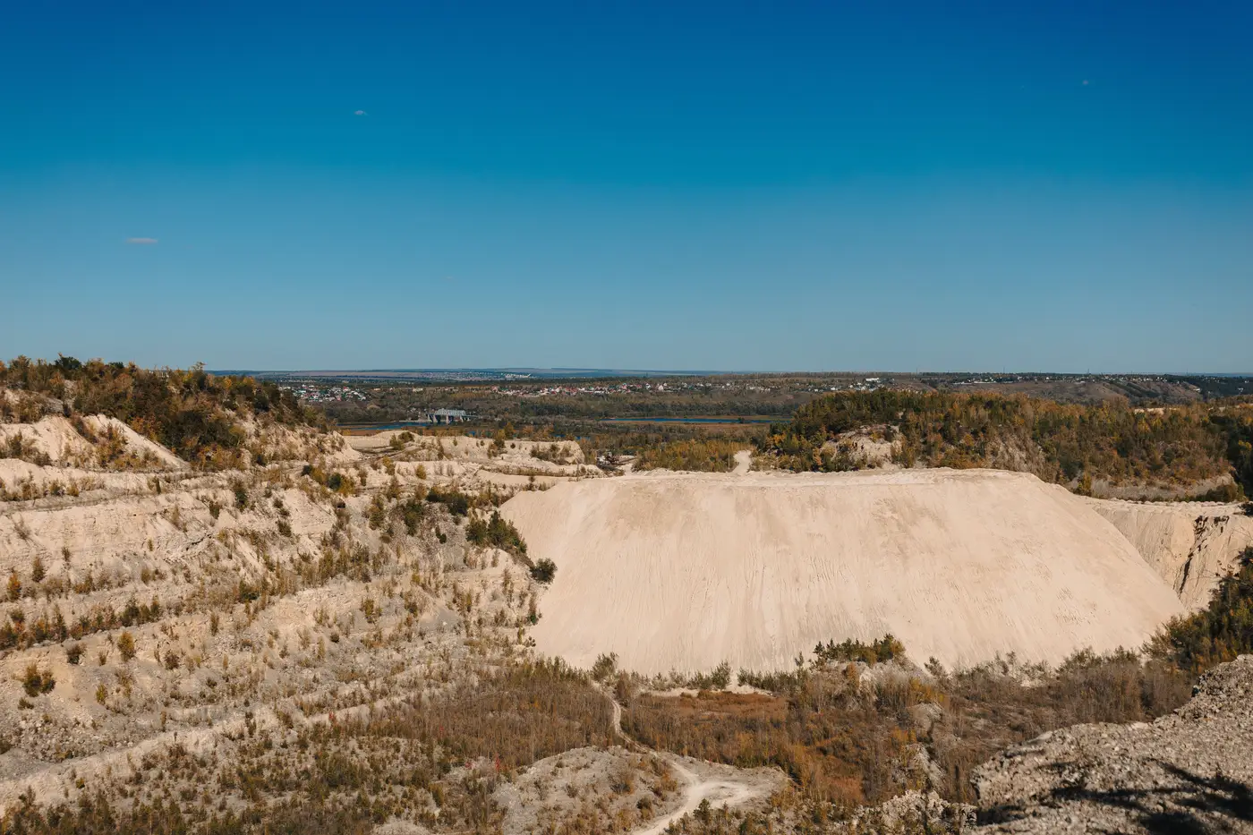
A desktop screen can hand a land team forty closed landfills, spoil heaps and old quarries ranked by cap condition and parcel size. None of that replaces a Phase I Environmental Site Assessment. The screen tells you which sites are worth a phone call. The Phase I is what a lender, an insurer, or your own legal team will read before money changes hands.
The confusion is understandable because both processes are looking at the same ground for the same reason: has this site been used in a way that could leave contamination behind. But they're built for different moments in the project, and skipping straight from satellite imagery to a purchase agreement is how a developer ends up re-running diligence under deadline pressure six months in.
What a Phase I ESA documents
A Phase I ESA follows a standard, usually ASTM E1527, and it's performed by an environmental consultant, not a GIS analyst. It pulls historical aerial photographs and Sanborn maps, searches regulatory databases for permits and violations tied to the parcel, reviews chain-of-title and prior land use going back decades, and includes a site walk and interviews with current and past owners or operators. The output is a written finding of whether there are Recognized Environmental Conditions, or RECs, on the property. That finding is what title companies, lenders and most state brownfield programs ask for by name before they'll touch a transaction.
None of that is something imagery can do. A satellite pass shows you the physical signature of a site today: the geometry of a landfill cap, the exposed rock of a quarry face, bare or discolored ground where vegetation won't take. It can't tell you what was dumped there in 1974, whether a UST was ever registered on the parcel, or whether the prior owner signed a consent order with the state. That's deed and regulatory history, and it lives in county recorder offices and agency databases, not in reflectance bands.
Where the screen hands off to the ESA
The honest way to think about it: imagery is for ranking, the ESA is for closing. A screen across a region turns "somewhere in this county there might be a dozen usable brownfields" into a short list of named parcels with a visible contamination or disturbance signature and no competing agricultural use. That's the hard part of sourcing, and it's the part that used to mean a planner working through historical land-use records one county at a time.
Once a site is on that short list and you're ready to option it, the Phase I ESA is still the gate. That's true even for a site the imagery flags as an obvious closed landfill. Post-closure care requirements, methane monitoring obligations, and leachate history don't show up in a multispectral composite; they show up in the facility's closure permit and the state solid waste agency's file on it. A quarry with a clean-looking imagery signature can still have a documented history of waste disposal in the pit that only a records search surfaces. The visible condition and the regulatory history are two different questions, and a good candidate list answers the first one, not the second.
The short version
Run the screen to build and rank the list. Commission the Phase I ESA on whatever parcel you're about to option, lease, or put in front of a lender, regardless of how clean it looks from above. If the imagery or the records search turns up something worse than expected, that's also usually the point where a Phase II (soil and groundwater sampling) gets scoped. A satellite screen never substitutes for either one; it just means you're not paying for ESAs on sites that were never going to pencil out in the first place.
If you're still at the stage of narrowing a region down to parcels worth that call, Brownfield Solar Sites builds that candidate list from a single annual imagery pass instead of a records search run site by site. Get the shortlist sorted first, then send the real diligence budget to the parcels worth it.