How to tell a restored quarry from an active quarry in satellite imagery
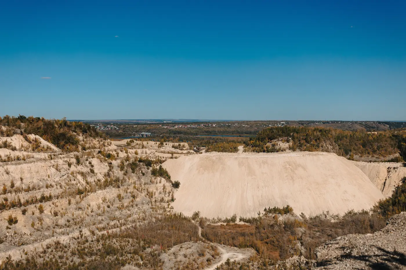
A mineral planning register will tell you a quarry exists. It won't tell you whether the operator pulled out five years ago or is still pulling 40,000 tonnes of aggregate out of the ground this quarter. That gap is where a lot of screening time gets wasted, because the two states look similar enough on a basic map layer that someone has to go and check. Satellite imagery, read correctly, closes most of that gap without a site visit.
What an active working face looks like
A live quarry has a signature that doesn't fade quickly. The working face is bare rock or exposed overburden with sharp, angular edges, usually stepped into benches rather than one smooth slope. You'll see haul roads as pale, compacted tracks running between the face and a processing pad, and those tracks stay bare because trucks are driving on them every week. Stockpiles of graded material sit near the plant in regular, geometric piles that shift position and size between image dates if you're pulling a time series.
Settling lagoons for washed aggregate hold water with a distinct turbidity, often a cloudy grey-green rather than the clearer water of an abandoned pit. Dust plumes are visible on dry days near the crusher. None of these signs show up in a single still image as dramatically as they do when you compare two dates a year apart and the footprint has grown.
What restoration looks like once it's taken hold
Restored quarries read differently, and the tell is mostly vegetation and shape. Once extraction stops and a restoration condition kicks in, the operator is usually capping with soil and seeding, so bare rock gives way to grass or scrub within a couple of growing seasons, depending on the substrate and the cap depth. The benches soften: steep angular steps get regraded into slopes a seed mix can hold, so the terracing you saw in the active phase looks rounder and less defined a few years on. Haul roads stop being used and start greening in from the edges, which is one of the fastest tells in a time series because a road that hasn't carried a truck in two seasons develops a visible strip of vegetation down the center. Lagoons and the final void often fill and stabilize into a clear-water pond, sometimes designated for amenity or biodiversity use, which reads as a much calmer blue than an active settling pond. If the site has gone to a specific after-use, like a wetland or grazing restoration, you'll see the field patterns of that use start to appear instead of quarry geometry.
The ambiguous cases are the ones mid-transition: a quarry under a phased restoration condition where one bench is still being worked while an earlier bench is already greened over. That's normal, and a multispectral pass with a vegetation index catches it better than a plain RGB look, because the regrowth often shows up in the near-infrared band before it's obvious to the eye.
Why the distinction matters for siting
For a solar developer or a planning team, a restored quarry carries a different argument than an active one. An active extraction site is still subject to its mineral permission, still has an operator with rights to the ground, and almost certainly isn't available regardless of how degraded it looks on a map. A restored quarry, especially one that's completed its aftercare period, is often low-grade grassland or scrub sitting on a disturbed subsoil that was never going to return to productive farmland anyway. That's exactly the kind of parcel that clears the "not prime agricultural land" objection in a planning submission without the argument that food production land is being displaced.
Checking this one parcel at a time against historic planning files and old aerial surveys is the slow part of the job. Brownfield Solar Sites runs that check across a whole screening area and ships back a numbered dossier of candidate parcels, including closed quarries, that are already reading as inactive and restored rather than live and permitted.
If a quarry or spoil heap in your area is worth a second look, that's the list to start from.