How to read a council brownfield land register for solar site leads
Every local planning authority in England has to keep a brownfield land register under the Town and Country Planning (Brownfield Land Register) Regulations 2017. Most planners already know the register exists. Fewer have sat down and worked through one looking for solar leads rather than housing allocations, and the register rewards that different reading.
What's in the register
A brownfield register is a spreadsheet, usually published as a PDF or an open-data CSV on the council's planning pages. Each entry carries a site reference, the site name and address, the area in hectares, the planning status (whether it has outline permission, is allocated in the local plan, or is just listed as "suitable, available and achievable"), and a note on minimum net dwellings if it's been assessed for housing.
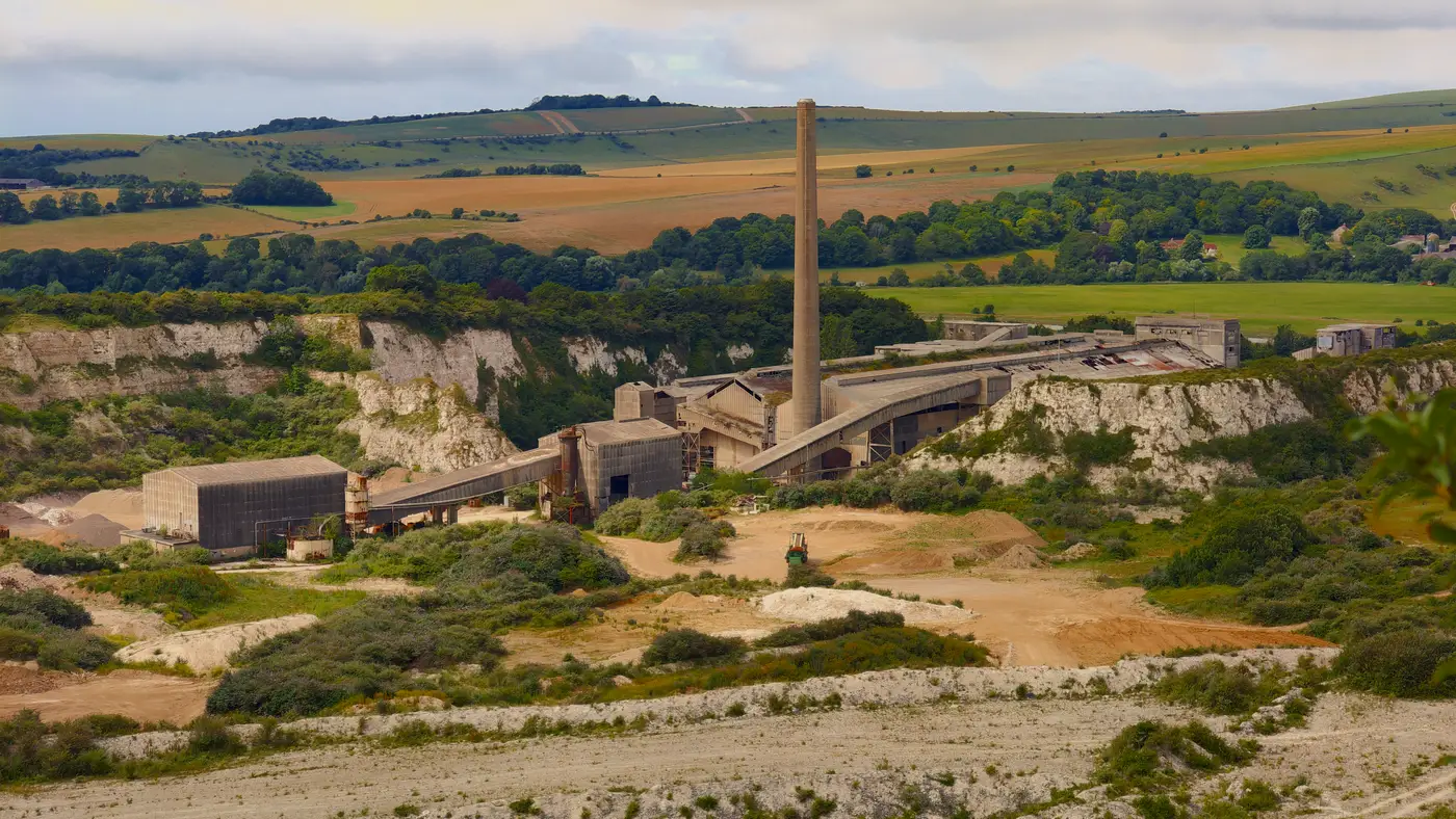
That last field is the tell. Brownfield registers were built under the Housing and Planning Act to speed up residential delivery. Part 1 of the register, the bit most councils populate in full, lists sites judged suitable for housing. A gravel quarry with poor access and contaminated soil, exactly the kind of ground a solar developer wants, often gets left off entirely because nobody has assessed it against housing criteria. The register was simply never built to flag it.
So when you open a register for solar leads, read it for what it tells you about a council's local plan priorities and site history, not as a complete inventory of degraded land. Cross-reference the site references against the council's old contaminated land register (a separate statutory duty under Part 2A of the Environmental Protection Act) and any closed landfill lists held by the Environment Agency. The brownfield register gives you the site boundary and a planning status. Those other two sources give you the land-use history that tells you whether it's worth a site visit.
Reading the planning status column for solar fit
Three status values turn up repeatedly: "permissioned," "not yet permissioned," and "under construction." For housing leads this column tells you how close a site is to delivery. For solar leads it tells you something slightly different: how much planning goodwill the site already has banked.
A site with an existing permission for a use that never happened, say a retail scheme that lapsed, usually clears the first hurdle in a pre-application conversation faster than a greenfield parcel nobody has ever looked at twice. Councils that have already signed off on development in principle for a parcel are less likely to raise a food-security or landscape objection when the next application comes in for panels instead of houses.
The area column matters more here than it does for housing. A 0.4-hectare infill plot is a non-starter for a ground-mount array regardless of its planning history. Most developers are screening for sites above 2 to 5 hectares depending on the grid connection they're chasing, so you can discard the bulk of a typical register's entries on size alone before you even open the site description.
Where the register runs out of road
The honest limitation is that brownfield registers are a housing-delivery tool that happens to list some land you can use for other purposes. They don't flag former quarries that were never assessed for residential use, they don't catch landfill cells closed decades ago and reclaimed as scrubland, and they won't show you spoil heaps or visibly contaminated ground sitting outside any council's current housing pipeline. If a parcel never made it onto a planner's desk for a housing assessment, it never made it onto this list.
That's the gap a yearly satellite scan is built to close. Brownfield Solar Sites works from high-resolution multispectral imagery across a wide area rather than council by council, flagging closed landfills, spoil heaps, former quarries and visibly contaminated ground as a numbered candidate dossier, the kind of degraded land that carries the same planning goodwill as a listed brownfield site without ever having been assessed for one.
If you're already pulling registers county by county, it's worth seeing what a dossier built straight from imagery turns up that the paperwork never caught.