Greenfield vs brownfield solar siting: how planning risk actually differs
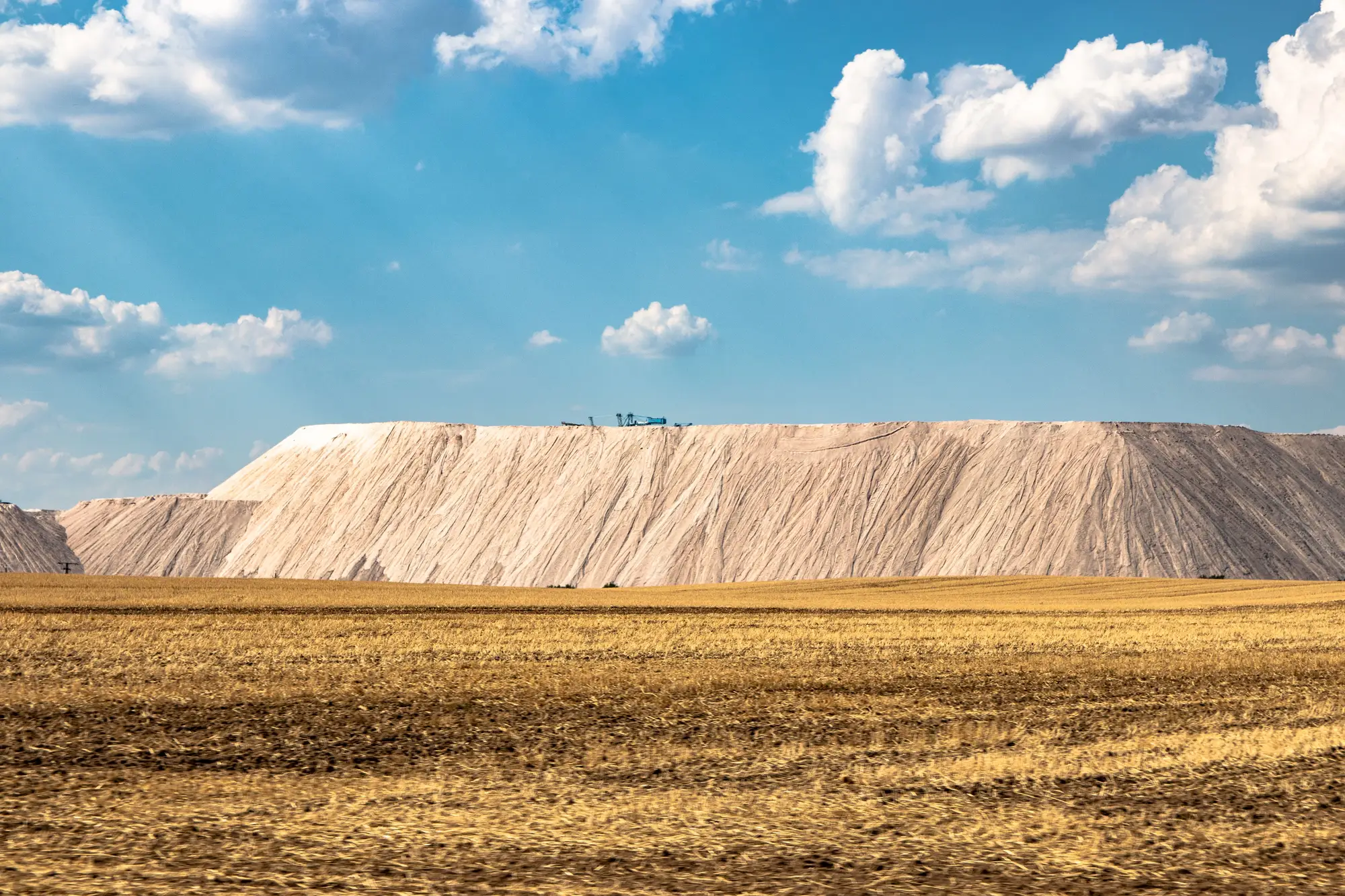
Every greenfield solar application runs into the same fight sooner or later: is this good farmland, and should an array be sitting on it instead of soybeans or a herd. That fight shows up in staff reports, in planning commission minutes, in the three generations of farm families who show up to object. A better site plan doesn't settle it, because it's a values argument about land use, and values arguments move slowly through a hearing.
Brownfield parcels skip that argument. A closed landfill, a worked-out quarry, a spoil heap from a mine that shut down decades ago, none of these pull soil out of the food supply. Nobody stands up at the hearing to defend the corn yield on a capped municipal dump. That's the planning goodwill that degraded land carries into a siting process, and it's worth more than most developers price in at the pre-application stage.
What changes on a landfill or quarry parcel
The risk doesn't disappear on brownfield land. It moves.
On a greenfield parcel, the planning risk sits in land use policy: soil classification, ag preservation overlays, the comp plan language about converting prime farmland. On a landfill or former quarry, the risk sits somewhere else entirely, in the ground itself. A capped landfill has settlement to think about, methane venting, a liner that wasn't designed to carry racking loads. A quarry floor might have standing water, unstable spoil, or a lease that reverts to the county before your interconnection timeline clears. A visibly contaminated site might need a Phase II before anyone will finance it.
Brownfield siting trades a political risk you can't engineer around for a technical risk you can manage. A geotech report and a site visit answer the landfill question. No report answers the "should prime farmland grow electrons instead of food" question, because that's not a technical question. It's the one the hearing room is there to settle.
The planning file still needs the same documents
None of this changes what has to go in front of a zoning board. A brownfield site still needs its own conditional use application, its own setback variance if the parcel geometry demands one, its own interconnection study. The goodwill shortens one argument. It doesn't shorten the file.
What it does change is where a planner spends the early screening effort. Instead of running down historical land-use records parcel by parcel across a county, hoping to catch the one capped landfill or abandoned quarry that never made it into a GIS layer, the better use of that time is building a shortlist from current imagery and then sending a project team to verify the ones that hold up. Closed landfills get mowed and forgotten. Quarries get backfilled and reclassified. Spoil heaps sit under scrub that looks the same on every zoning map from 1998.
That's the gap a numbered candidate dossier pulled from current high-resolution, multispectral satellite imagery is built to close, flagging the parcels worth a Phase I before anyone commits staff time to a site visit. You can see how that screening works on the Brownfield Solar Sites landing page.
Greenfield siting risk is a policy fight you manage with public comment periods and ag impact mitigation fees. Brownfield siting risk is a ground-condition fight you manage with a geotech report and a deed search. Confusing the two, or assuming a dossier full of landfill candidates removes the need for either, is how a project team ends up surprised in front of a planning commission that already liked the parcel.
If your screening list is thin on candidates, that's the problem worth solving before the next hearing cycle, not after.