Field notes: the slag heap that turned out to be three different parcels
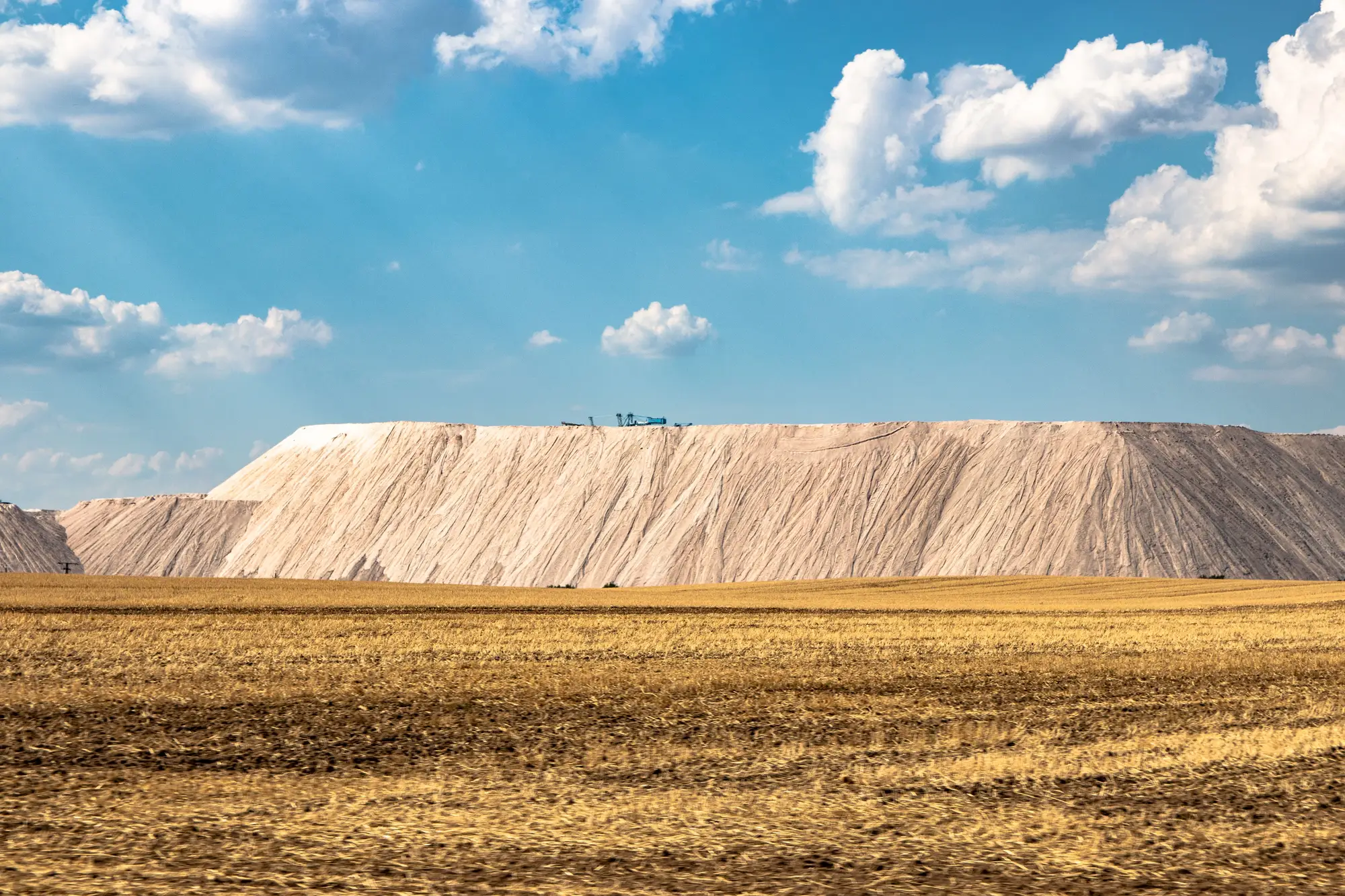
We went out to look at a slag pile outside a shuttered steel operation because it read clean on the first pass: open ground, no tree cover, a shape in the imagery that practically screamed "nothing is farming this." What we found on the ground, and then in the assessor's records, was a single visible mound sitting on three separate parcels, under two different owners, with a sliver of the third still carrying mineral rights reserved to a company that stopped operating before most of our team was born.
This is the part of brownfield siting that satellite imagery alone will never tell you: the pile doesn't know where the parcel lines are. Slag heaps, ash ponds, mine spoil, they were dumped by a shovel or a conveyor following the terrain and the path of least resistance, not a plat map. Tax parcel boundaries drawn decades later followed ownership history: who sold to whom, who inherited what, which lot got split off for a tax sale in 1974. The waste pile sat there through all of it, indifferent to the paperwork. So you get a single contiguous landform that's legally three different things.
The practical problem shows up fast once you start scoping. About sixty percent of the pile sat on the first parcel, which had a clean chain of title and a willing seller. The second parcel belonged to a holding company that turned out to be a subsidiary of the original steel operator, still technically active, still filing annual reports, utterly uninterested in a call back. A four-acre sliver made up the third parcel, where the surface had been sold off in the nineties but the mineral rights stayed with the predecessor company. Nobody local even remembered there was a split estate until the title search came back.
None of that is visible from above. It's not visible from the ground either, honestly. You can walk the whole mound and never see a fence line, a marker, or any physical sign that you've crossed from one legal parcel into another. The slag doesn't change color. The slope doesn't change. The only place this distinction exists is in a deed book and a GIS layer that the county may or may not have digitized properly.
What this does to a siting timeline is the real cost. A developer who screens the pile as one candidate and starts interconnection and permitting conversations before running title is building a project on an assumption that falls apart the moment someone pulls the parcel map. Three owners means three negotiations, three sets of setback and easement questions, and possibly three different zoning overlays if the parcels sit across a municipal boundary, which, on this one, they did.
This kind of site still works fine as a candidate, once it gets screened as three candidates instead of one, each tagged with its own ownership note before anyone spends time on it. That's the actual job: spotting the degraded ground and handing a planner a dossier where each parcel is numbered and flagged separately, so nobody wastes three weeks chasing one owner for land that another owner already controls. That's the approach behind the candidate dossiers we build, where every closed landfill, quarry scar, or slag deposit gets flagged at the parcel level, not just as a shape on a map.
The lesson for anyone doing this work isn't complicated: treat the surface feature and the legal parcel as two separate facts until you've confirmed otherwise. One slag heap, three parcels. It happens more than the imagery would ever let on.
If you're screening ground like this across a larger territory, take a look at what a numbered dossier from Brownfield Solar Sites can put in front of your team before the next site visit.