Field notes: the landfill sailed through planning, the cornfield didn't
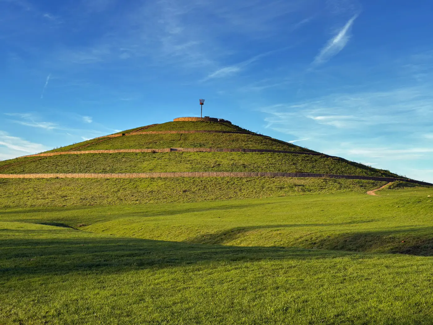
Two applications, same committee agenda, same parish, roughly the same megawatt output. One was a closed landfill capped off in the late nineties, grassed over, fenced, used by nobody for anything since. The other was forty acres of grade 2 arable that had grown wheat and oilseed rape every year a local farmer could remember.
The landfill went through on the night with barely a question. The cornfield is still in appeal eighteen months later.
Anyone who sits on these committees regularly already knows this pattern. The panels, the glint, the decommissioning bond, the grid connection all get raised at some point in the hearing, but the argument that actually decides the outcome turns on what the land was doing before anyone proposed solar on it, and what story the objectors can tell about what gets lost.
Nobody writes a heartfelt letter about a landfill. There's no farming family whose grandfather worked that ground, no NFU rep quoting food security statistics, no parish newsletter running a "save our fields" campaign. The land already stopped being productive decades ago, and everyone in the room knows it. The planning officer's report can lean on that without much argument: previously developed, no agricultural classification worth protecting, no loss-of-amenity case beyond "it already looks like this."
The cornfield carries none of that cover. Grade 2 and grade 3a land trips the best-and-most-versatile test almost automatically, and once that test is live, every objector has a ready-made argument that doesn't need to mention solar at all. They can just say the policy says protect this land, and point at the policy. The applicant ends up litigating food security and visual impact in the same hearing, against neighbors who've farmed that view for three generations.
From a siting point of view, the actual physical risk assessment runs the opposite direction from the planning risk. The landfill site needs more engineering work: cap integrity checks, methane venting considerations, a geotechnical survey the cornfield would never need. None of that slowed the committee down. The planning goodwill carried it past the technical questions in a way that wouldn't happen for a greenfield site with a fraction of the ground-engineering complexity.
That goodwill is real and it's durable, but it's also not something you can see from the road. A capped landfill looks like a field. A former quarry backfilled thirty years ago looks like a field. A spoil heap grassed over looks like a hill. The visible contamination that would raise eyebrows on a Phase 1 report doesn't show up on a drive-by, and the local knowledge of "oh, that used to be the old tip" fades out once the generation who remembers it retires off the council.
Which is the actual problem for anyone scoping a pipeline across a county or a region. The sites that would sail through planning the way that landfill did are out there, but finding them means knowing which parcels carry that history, and the only way to know for certain has usually meant pulling historical land-use records and closed-landfill registers one site at a time, parcel by parcel, borough by borough. That's a lot of hours spent before you even know if a shortlist is worth a site visit.
This is more or less the gap Brownfield Solar Sites exists to close: a yearly, numbered shortlist of the degraded ground in a region, pulled from imagery rather than built one council archive at a time.
If your pipeline needs more sites like the landfill and fewer fights like the cornfield, that's the list worth starting with.